Donald A. Hall Estate Collection
Vertical Overlook of Stoneman Meadow and Camp Curry from Glacier Point (1927)
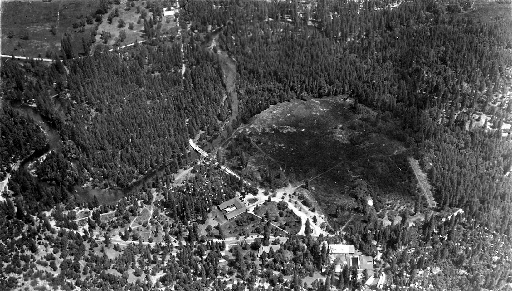
From the dizzying edge of Glacier Point, Donald A. Hall Sr. pointed his camera straight down thousands of feet to record a near-vertical topological survey of the Yosemite Valley floor. The photograph details the winding meanders of the Merced River, the sprawling grassy clearing of Stoneman Meadow, the geometric layout of early Camp Curry tent cabins and pavilions, and the dirt roads threading through dense conifer forests, offering an extraordinary early aerial-style overview of park infrastructure.