Donald A. Hall Estate Collection
North Atlantic Ocean Northwestern Sheet Navigation Chart (1927)
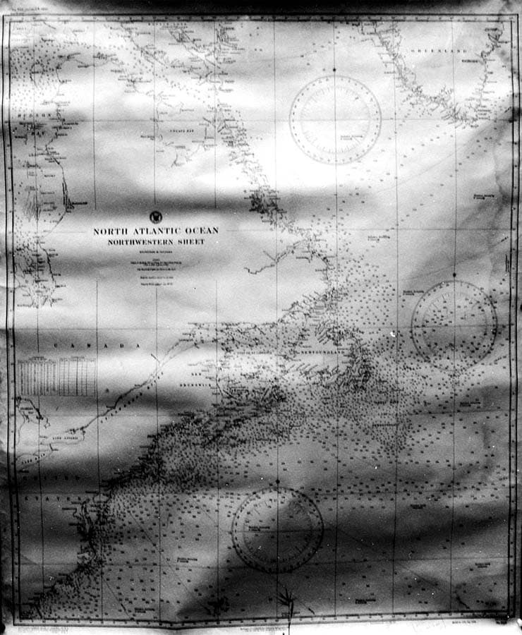
Large-format U.S. Hydrographic Office nautical chart (Northwestern Sheet) utilized during flight planning for the Spirit of St. Louis. Depicting the North American eastern seaboard from New York and Boston up through Nova Scotia, Newfoundland, and the Grand Banks, the chart features magnetic compass roses, fathom depth soundings, and great-circle sailing curves. Preserved from Donald A. Hall Sr.'s San Diego drafting office, this navigation sheet was used alongside Mercator and gnomonic projections to plot distance increments, magnetic variation, and drift angles for Lindbergh's transoceanic departure.