Donald A. Hall Estate Collection
North Atlantic Ocean Northeastern Sheet Navigation Chart (1927)
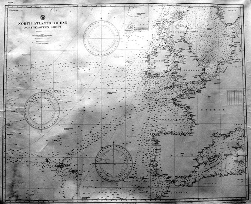
The companion U.S. Hydrographic Office navigation chart (Northeastern Sheet) covering the European approach of the transatlantic flight. The map details the waters of the eastern Atlantic, the southern coast of Ireland, the English Channel, the Bay of Biscay, and the landfall approach across France toward Paris. Retained in Hall's personal technical papers, this working chart reflects the meticulous dead-reckoning calculations and landfall verification waypoints Hall and Lindbergh reviewed before the aircraft departed San Diego for New York.